
1. What a Topographic Survey Actually Captures (and Why Preparation Changes the Results)
A topographic survey is an important first step for many construction, design, development, and permitting projects. In Surrey BC, a topo survey is commonly used by architects, engineers, builders, homeowners, developers, and municipal reviewers to understand the existing site conditions before design work moves forward.
The role of the Land Surveyor is to guide the survey process, confirm the appropriate scope, complete the necessary field work, and prepare survey information that can be used by the project team. Clients do not need to determine exactly what a topo survey should include on their own. That is part of the value of working with an experienced surveyor.
This article explains what a topographic survey typically captures, how the process works, and what information may be helpful to have available before the field visit.
What Is a Topographic Survey?
A topographic survey documents the physical features and elevations of a property. Unlike a legal boundary survey, which focuses on the legal limits of a parcel, a topo survey provides a detailed picture of the site as it exists at the time of the survey.
This information is commonly used for architectural design, engineering design, grading, drainage, site planning, subdivision applications, development permits, building permits, and construction planning.
What Does a Topographic Survey Usually Include?
The exact scope of a topo survey depends on the property, the municipality, and the purpose of the project. For a typical Surrey property, a topographic survey may include:
- Ground elevations and contours
- Existing buildings and structures
- Driveways, patios, retaining walls, fences, decks, and sheds
- Trees and other significant site features, where required
- Road, lane, curb, sidewalk, and boulevard features adjacent to the property
- Visible utility features such as manholes, catch basins, valve boxes, hydro poles, gas meters, and service connections
- Drainage features such as ditches, swales, culverts, and catch basins
- Relevant property information based on available survey and title records
The Land Surveyor reviews the project requirements and determines what information should be collected for the intended use of the survey.
How the Land Surveyor Coordinates the Survey Scope
Every property is different. Some sites require a straightforward residential topo survey, while others may involve additional road frontage, lane information, tree details, building elevations, servicing information, or specific requirements from an engineer, architect, or municipality.
Before the field work begins, the Land Surveyor will review the purpose of the survey and determine the appropriate scope for the project. This process may include reviewing available plans, title information, municipal requirements, design-team requests, permit comments, or other project details.
In many cases, the Land Surveyor will also coordinate with, or rely on guidance from, the City, architect, engineer, or other members of the project team to confirm what information is required for the final plan. This helps ensure the survey is prepared for its intended use, whether it is for design, permitting, engineering, subdivision, construction planning, or municipal review.
If the client already has drawings, permit comments, engineering requests, architectural plans, or correspondence from the City, those can be helpful to share. However, the client is not expected to determine the technical requirements of the survey. The Land Surveyor will help identify what is relevant, with input from the City and design team where appropriate.
Helpful Information to Have Available
Although the Land Surveyor is responsible for guiding the survey process, certain information can help the survey proceed efficiently. This may include:
- Any previous survey plans or site plans for the property
- Architectural or engineering drawings, if they are already available
- Permit comments or specific requests from the City of Surrey
- Information about recent construction, demolition, or site changes
- Tenant or access details, if the property is occupied
- Information about any areas that may be heavily overgrown, blocked, buried, or difficult to access
- Any known site conditions that may be relevant to the project
These items are not a substitute for the Land Surveyor’s review. They simply provide helpful background information that may assist with planning the field work and preparing the final deliverables.
Access During the Field Visit
For most topographic surveys, the field crew will need access to the main areas of the property, including the front yard, rear yard, side yards, driveway, and any areas where relevant site features are located. On some projects, access may also be required to a rear lane, adjacent frontage, or interior areas of a building if floor elevations are needed.
Before the survey date, the Land Surveyor or survey office will typically coordinate access details with the client. This may include confirming gates, pets, tenants, parking, or any areas that may be difficult to reach.
It is also helpful when important areas of the site are reasonably accessible and not completely overgrown. Surveyors can only measure and document features that can be safely accessed, seen, or identified in the field. For example, if a fence line, drainage feature, valve box, retaining wall, or other site feature is hidden by dense vegetation, buried under debris, or physically inaccessible, the field crew may not be able to locate or measure it during the survey.
This does not mean the property needs to be perfectly cleared or changed before the survey. The goal is simply to make sure that key areas and visible site features can be accessed where practical, so the Land Surveyor can collect the information required for the project.
The purpose of this coordination is to help the field crew collect the information required for the project in an organized and efficient way.
Topographic Surveys and Visible Utility Features
A topographic survey usually includes visible surface utility features. These may include manholes, catch basins, water valve boxes, gas meters, hydro poles, service entries, and other visible features at or near the ground surface.
It is important to understand that a topographic survey is not the same as an underground utility locate. Underground utility locating is a separate service and may involve BC One Call, private utility locating, or additional investigation depending on the project.
The Land Surveyor can help clarify what is included in the topo survey and whether additional utility information may be required by the design team or contractor.
Topographic Surveys for Development and Building Permits in Surrey BC
In Surrey BC, topographic surveys are commonly required for development applications, subdivision projects, new construction, additions, and other permit-related work. The survey provides the existing site information that architects, engineers, planners, and municipal reviewers use during the design and approval process.
Depending on the project, the survey may need to show road grades, lane grades, building elevations, tree locations, drainage features, existing structures, easements, rights-of-way, and other relevant details.
A Land Surveyor familiar with Surrey and the Lower Mainland can help determine the appropriate survey scope based on the intended use of the plan and the requirements of the project team.
Technology Used in Modern Topographic Surveys
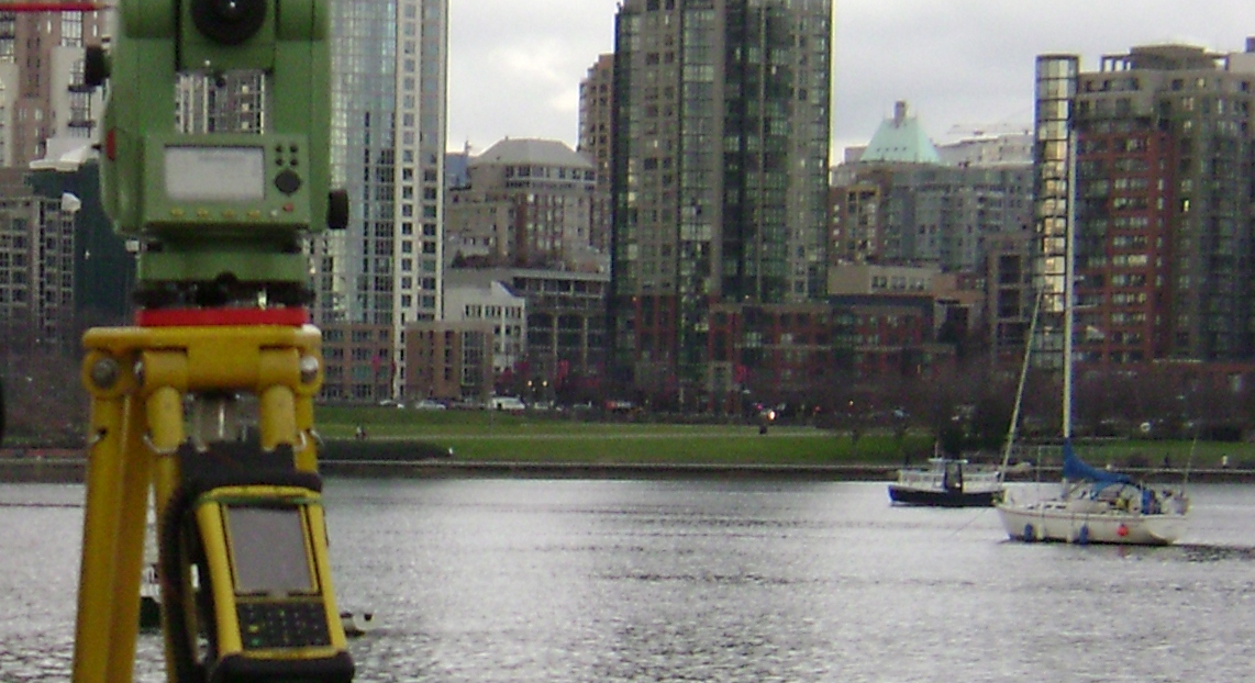
Modern topographic surveys may involve a combination of field and office technologies. Depending on the site and project requirements, a survey crew may use Total Stations, GNSS/GPS receivers, 3D laser scanning, drone imagery, point clouds, or CAD-based drafting workflows.
Each method has a specific purpose. Total Stations are useful for precise measurements and detailed site features. GNSS/GPS equipment can be effective in open areas. 3D laser scanning can capture detailed existing conditions on complex sites. Drone imagery can be useful for larger properties or certain aerial mapping applications.
The Land Surveyor determines which tools are appropriate based on the site conditions, required accuracy, project scope, and final deliverables.
The Role of the BCLS-Licensed Land Surveyor
In British Columbia, a British Columbia Land Surveyor, or BCLS, is a licensed professional responsible for legal survey work and for the professional review of survey plans prepared under their supervision.
For topographic surveys used in development, construction, or municipal submissions, the involvement of an experienced Land Surveyor helps ensure that the survey information is prepared with the appropriate level of care, context, and professional judgment.
Survey technologists, field crews, and drafting staff may all contribute to the project, but the Land Surveyor is responsible for guiding the work, interpreting relevant survey information, and ensuring the final plan is suitable for its intended purpose.
Frequently Asked Questions About Topographic Surveys in Surrey BC
What is the difference between a topographic survey and a boundary survey?
A topographic survey documents the physical features and elevations of a property. A boundary survey establishes or confirms the legal property boundaries. Many development projects require both types of information, but they serve different purposes.
Do I need a topographic survey before applying for a development permit in Surrey?
Many development and building permit applications require topographic information. The exact requirements depend on the type of project, the location, and the City’s submission requirements. A Land Surveyor can help confirm what is typically required for the project.
How much of the property does a topo survey cover?
The survey area depends on the project. A residential topo survey may include the lot, adjacent road frontage, rear lane, boulevard, sidewalks, and other nearby features needed by the design team. The Land Surveyor will determine the appropriate extent based on the intended use of the survey.
Does a topographic survey include underground utilities?
No. A topographic survey generally includes visible surface utility features, but underground utility locating is a separate service. If underground utility information is required, the project team may need to arrange additional utility locating.
Will the surveyor need access inside the building?
Interior access is not required for every topo survey. In some cases, finished floor elevations or other building-related measurements may be needed. If interior access is required, it will usually be discussed before the field visit.
What happens if part of the property is overgrown or difficult to access?
A property does not need to be perfectly clear before a topographic survey. However, surveyors can only measure features that can be safely accessed, seen, or identified in the field. If an important feature is hidden by dense vegetation, buried under debris, or physically inaccessible, the Land Surveyor can review the situation and advise whether any additional information or access may be helpful.
What file format is usually provided?
Topographic survey deliverables often include a PDF plan and, where required, an AutoCAD DWG file for the architect, engineer, or design team. The exact deliverables depend on the project scope and client requirements.
How long does a topographic survey take?
The timeline depends on the size of the property, the complexity of the site, the required scope, field conditions, and drafting requirements. A straightforward residential site may be completed more quickly than a larger or more complex development property.
Key Takeaways
- A topographic survey documents the physical features and elevations of a property.
- The Land Surveyor determines the appropriate survey scope, with guidance from the City, architect, engineer, or project team where required.
- Clients do not need to know every technical requirement before booking a topo survey.
- Existing plans, permit comments, and design-team requests can be helpful to share.
- Reasonable access is helpful because surveyors can only measure features that can be safely accessed, seen, or identified in the field.
- Topographic surveys are commonly used for design, engineering, development permits, building permits, and construction planning.
- A topo survey is different from an underground utility locate.
- Working with a Land Surveyor familiar with Surrey BC helps ensure the plan is prepared for its intended use.
If you are planning a construction, development, or design project in Surrey BC, a topographic survey is often one of the first steps. An experienced Land Surveyor can help confirm what is required, coordinate the field work, and prepare the survey information needed by your project team.